By Go Visit Donegal ~ Published on: 27 April 2020
The story of Inch Lough, begins in the late 19th Century, when it was created from the estuarine mud of Lough Swilly and two embankments were built to link Inch Island to the mainland on behalf of the Derry & Lough Swilly Railway. A railway embankment was then built dividing the area - the inner part (Inch Levels) being further drained to create polders or sloblands for agricultural use, while the outer part (Inch Lough) acted as a holding reservoir or lake for drainage water. A sluice gate in one of the original embankments allows drainage to the sea at low tide.
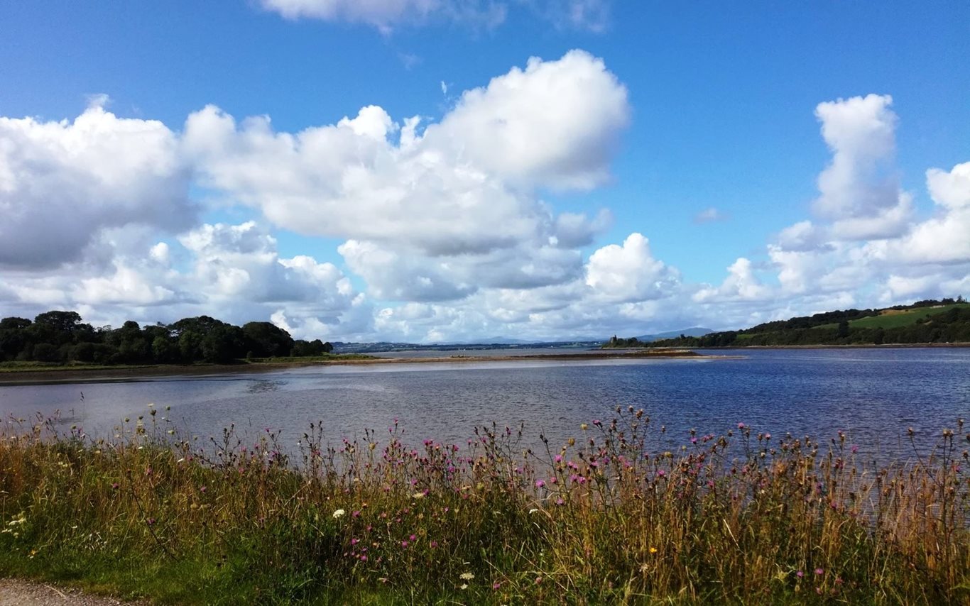
Image: Inch Levels Wildfowl Reserve, Inishowen, Co. Donegal
This site is now regarded as one of Ireland’s premier wetland attractions and the area is designated as a Special Protection Area (SPA) under the EU Birds Directive. In addition, to hosting thousands of migratory birds including geese, swans, ducks and other waders, the island is home to a rich array of built, cultural and natural heritage. For example, in 1430, Inch Castle (located on southern tip of Inch Island) was constructed by the Gaelic Irish lord Neachtain O'Donnell for his father-in-law Cahir O'Doherty. Burt Castle was built in 1560 (located close to Newtowncunningham & Burt) which has served as important links in the network of defensive castles around Inishowen built by the O'Doherty clan, also known as the “Lords of Inishowen”.
In 1689, during the Siege of Derry, two ships from England laden with supplies for the besieged citizens in Derry and unable to pass enemy lines were ‘held up’ on the island from the 13th - 28th July after which they successfully entered Lough Foyle[[ii]] and delivered their cargo. An Grianán of Aileach fort, which lies close to the village of Burt, dates back to 1700 BC and is linked to the Tuatha de Danann who invaded Ireland before the Celts and built stone forts on top of strategic hills. Furthermore, it is believed that St Patrick visited the site in the 5th Century and baptised the local chieftain, Eoghan (from whom Inis Eoghan gets its name). There are many more stories associated with Inch Levels some documented some not.
It recognition of this vast history and the importance of its preservation, an event was organised on the 25th Feb, 2020 in An Grianán Hotel, Donegal. The purpose of this event was to:
-
A) Allow experts in the field of built, cultural and natural heritage to share their knowledge with enthusiastic locals
-
B) To capture from participants local stories, folklore and forgotten histories of Inch Levels and preserve them for future generations and visitors to enjoy
Audios of these stories, folklore and histories will be made accessible to anybody visiting Inch Wildfowl Reserve via an app entitled ‘Lost Stories and Folklore of the Trail’ . This app can be downloaded onto a device and provide the stories behind any build, cultural and natural assets that the visitor encounters around the reserve on in the broader catchment area. The overall purpose is to enhance the visitors experience and create an affinity to the area that will stay with them long after their visit.
This app is being developed as part of the Trail Gazers Project, led by Donegal County Council’s Research and Policy Unit and co-financed by the INTERREG Atlantic Area Programme through the European Regional Development Fund.
Related links:
You may also be interested in: